The Search For King Charles I Baggage Ferry 1997-2019
Where is the ferry boat that vanished off Burntisland in the Firth of Forth on a summer storm on Wednesday the 10th of July 1633? And what happened to its royal cargo, alleged to have contained half a ton of silver and gold, the riches of a king?
A search for the wreck of the 'Blessing' and her potentially priceless cargo began in 1991. Following the withdrawal of an American exploration company in 1996, the search was taken over in 1997 by Burntisland Heritage Group (which became Burntisland Heritage Trust the following year). Progress has been slow because the search is being carried out largely by volunteers, and also because of the very difficult underwater working conditions in the target area. At the time of writing, the search is continuing with the help of some innovative and experimental technologies. It is one of the longest running and most tantalising of treasure hunts.
The table below provides full details of the search for the ferry in the period (1997 to date) when it has been led by Burntisland Heritage Trust

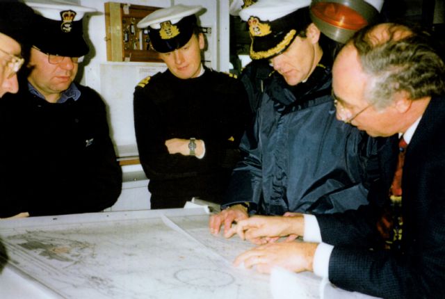
an Archibald with Commander Bob Stewart, pre-survey planning on board HMS Roebuck.
A Timeline of Exploration & Research 1997-2019
1997
HMS Roebuck with BHT. Anomaly identifiable on all devices. Location provided by HMS Roebuck is the same as position provided on a chart by Lancashire map dowser Jim Longton. Dr Colin Stove, Radar World. Processing and ‘cleaning up’ of Royal Navy analogue side-scan image. The ‘cleaning up’ image appears to show a vague outline of a ‘boat like shape’
1998
BHT.
Tritech International. Kirkcaldy Sub Aqua Club. Tritech sector scanning sonar; inspection dive to position sonar tripod and carry out circular searches. Divers carry out circular search. Search line lodged ‘on something else under mud level’. Timber fragment 100mm across later reported by Archaeology Diving Unit (ADU) to have been recovered (December 1998). Anomaly identified on sonar <26m in length and c0.4m high. This was subsequently identified as a natural feature in 2001.
A small ROV built by Carl Galfskiy was used as a static platform for Dr Colin Stove’s ground penetrating radar sensors. These were suspended below the ‘Maid of the Forth’ which made several passes over the area identified by HMS Roebuck.
This was elementary in construction and method but the experiment was successful and delivered a positive result.
1999
Archaeological Diving Unit, University of St Andrews (ADU). Magnetometer/ side-scan/bathymetry survey; ADU vessel. Anomalies checked by divers. Bathymetry/side-scan by ADU identified a ‘boat shape mound’. Magnetometer survey did not pick up any magnetic anomalies (in contradiction to earlier Royal Naval survey) Circular searches (2000 sq m), setting up of seabed platform and basic survey grid, development of sub-bottom diver controlled survey. . Team to focus in on ‘boat shaped mound'. The search area covered to date has shown no evidence of archaeological remains; BHT- Pre-disturbance Survey Report. Seabed layout for sub bottom survey, comprising a roped grid measuring 20m x 40m at 5m intervals.On the basis of the information provided on 22nd Feb. 1999 the then Scottish Office designated an area around the reported location of the wreck as a restricted area under section 1 of the Protection of Wrecks Act 1973.
2000
BHT. RAF Dive Team.
Project Design prepared for licence to excavate and carry out probe surveys within gridded area. Dver-controlled Ground Imaging Radar survey of entire gridded area comprising 7 x 20m lines Probing of survey grid.
Regular contact of probe along line 2 of 8 survey lines. Analysis of core samples by British Geological Survey gave no indication of timbers at these depths and led to conclusion that contacts were natural.
Survey with ‘hand held units’ shows individual deep buried targets on lines 5 and 6. Conclusion was that no remains of a wooden structure lay within the survey grid.
2001
Fathoms Ltd and BHT
Side-scan survey. A comparison between the Fathoms survey and Royal Navy survey concludes that the anomaly located in the original RN survey does not lie within the diver grid but immediately adjacent to the east.
As a result, it is agreed to extend the search area and grid a further 30m to the east and ‘box in’ the target area. Interim reports to Historic Scotland in October 2001 and 2002.
Sweep searches of the newly extended grid; side-scan sonar survey. No evidence of any features, but a detectable rise in the seabed within the new grid.
Archaeological Diving Unit
Side-scan and magnetometer survey. No indications of man-made material in the designated area except modern survey debris.
2002
BHT.
Extension of survey grid into new target area and careful probing. On 7 May 2002, three points of contact established at SW corner of new grid at depth of 1.5m.
Dive Report.
On 21 May 2002, divers' visibility at 4-5 metres and they report curve on seabed. Disturbances noted on seabed. Object uncovered heavily encrusted in black oxidisation. Position is fixed.
On 24 September 2002, two additional points of contact at 1.5m. Positions fixed.
2003
BHT-
Probing of new target area. Limited progress due to logistical difficulties (previous grid disappeared, presumably during winter storms).
2004
BHT
Continuation of probe survey and coring. Limited work undertaken.
Wessex Archaeology.
Side-scan sonar sub-bottom profile geophysics survey of protected area. A designated site investigation was commissioned by Historic Scotland in relation to the Protection of Wrecks Act (1973). This was undertaken by Wessex Archaeology in 2004 and a report was produced in June 2005. This concluded that: ‘” The designated Blessing of Burntisland site appears not to contain the remains of the shipwreck based on the evidence available to date.” Ian Archibald, the licensee on behalf of Burntisland Heritage Trust did not receive a sighting of the report until 2007.

The Archaeological Diving Unit from St Andrews University provided the group with assistance from 1999 to 2001.
2007
BHT
In a letter to Historic Scotland dated 5th December 2007, Ian Archibald expressed several concerns regarding the accuracy and the conclusion of the Wessex Archaeology account. In his interim reports to Historic Scotland in 2001 and 2002 he had already stated that the anomaly identified by HMS Roebuck lay further to the east and the grid had already been extended to accommodate this.
2012
An Historic Scotland Evidence Review conclusion stated- "While the slight possibility remains that the wreck within the designated area, conclusive evidence for the presence or absence of a wreck of national importance would require excavation. This is not a practicable option. On the basis of an analysis of the best available evidence, namely the results from the detailed searches, diver and geophysical survey work and probing undertaken within the restricted area during the period 1998-2004, Scottish Ministers can no longer be satisfied that a wreck of national importance is or may be located within the area currently designated".
The designation of the site under Section 1 of Protection of Wrecks Act 1973, was revoked on 1st November 2013. Following the assesment by Historic Scotland, with a review to transition to Historic marine Protected Area status, the site was not taken forward for designation.
2013
BHT and Adrok Ltd.
ADR seabed survey.
GPS controlled survey directed over target area.
Unable to accept this decision the project leader Ian Archibald, contacted Dr Colin Stove from Adrok Ltd. who was of the same opinion. BHT and Adrok Ltd. then conducted GPS controlled and ADR seabed survey directed over the target area. A series of scanned lines over the target area showed consistent results of a buried structure lying beneath the seabed. A scanned line running from west to east, records a structure length of 16.89 metres.
The target lies in fluid silt and is embedded in hard saturated sand. The results from spectral frequency analysis indicate the presence of wet wood and correlate with previous surveys in the same vicinity in 1989/99.
2014
BHT & Royal Navy Dive Team
Dive plan prepared for seabed probing at specific coordinate to locate and confirm physical presence of wood connected to main structure. Familiarisation dives by RAF dive team confirm control line in situ directly over target.
2016
BHT. Royal Navy Dive Team. Adrok Ltd.
Dive plan prepared for probing and coring.
If sample is retrieved this will be submitted for Carbon 14 dating of the timber. Dives undertaken but coring was unsuccessful due to loss of auger. Data analysis by Dr Colin Stove. Images produced showing outline of buried wooden wreck using highresolution imaging spectrometry.
2017 to 2019
BHT
'The Search for the Lost Treasure of King Charles I' (Heritage Trust Lecture at the Museum of Communication in Burntisland). A PowerPoint presentation telling the full story of the quest to find the King’s missing baggage ferry. The highly illustrated talk by Ian Archibald includes images showing evidence of the unidentified 17.0m long wooden wreck of indeterminate age buried 1.5m below seabed. Stirling Sub Aqua Club. Several dive attempts made to obtain wood sample for Carbon 14 dating of the timber. Poor weather and visibility once again made coring difficult.
2019
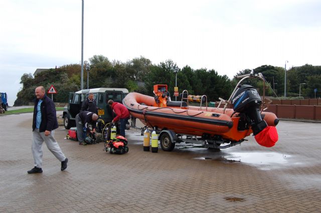
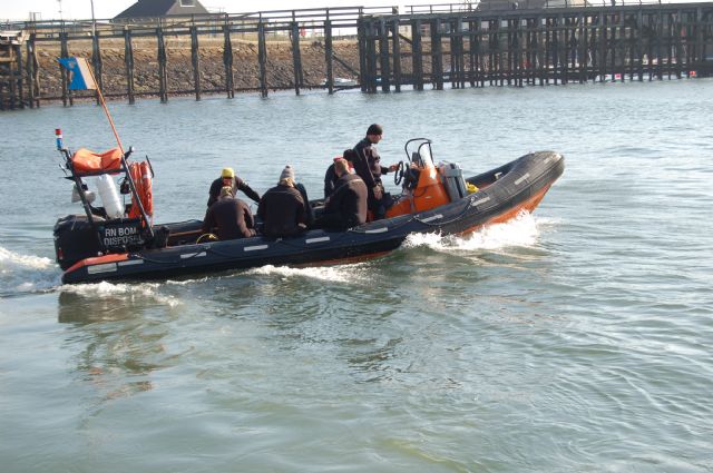
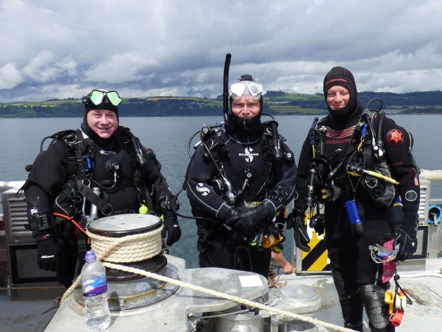
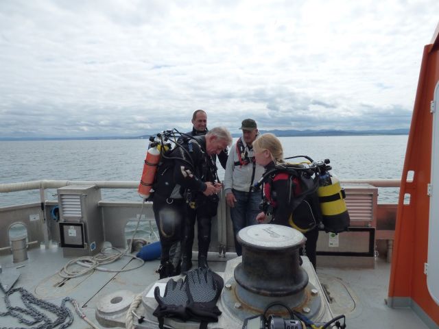
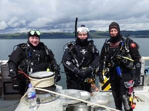
Diving with Stirling Sub Aqua Club and Forth Logistics Marine Services on 13 and 14 July 2019
After seeing Ian Archibald's presentation "The Search for the Lost Treasure of King Charles I" at the Burntisland Sailing Club, Stirling Sub Aqua Club's Chris Lamb offered the club’s support to assist with the diving. The Stirling club is a large branch of the Scottish Sub-Aqua Club, the governing body for Scuba Diving in Scotland.
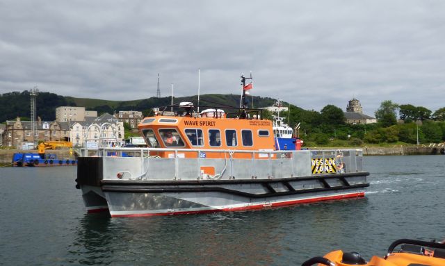
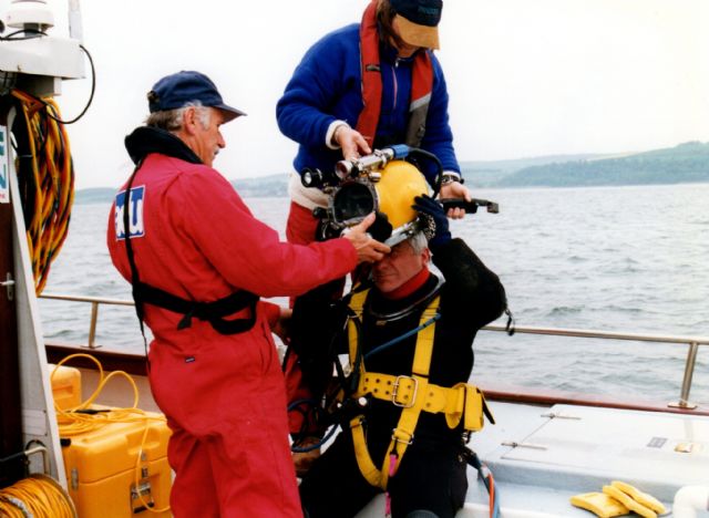
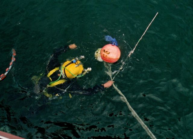
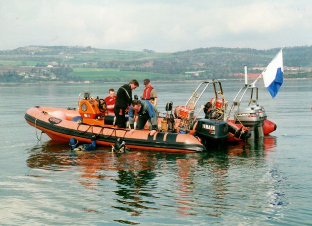
Ian Archibald is also very grateful to Burntisland Sailing Club who offered the use and access to the club’s pontoon for the divers to embark and disembark the “Wave Spirit”.Five of the club’s most experienced members, Alistair McCulloch (Branch Diving Officer), Duncan Blyth (Training Officer), Stuart Cramb, Linda Milne and Greig Matula dived the Burntisland site on Saturday 13th and Sunday 14th July. The team’s first task was to locate the seabed marker probe. This was identified on a previous dive as a suitable location for coring for a wood sample. The position correlates with the outline image of a buried wooden wreck which was produced using high resolution imaging spectrometry. The marker probe was successfully located on Saturday 13th July. The following dives on Sunday 14th July were however once again seriously hampered by very poor visibility (less than half a metre). No coring could be undertaken. The team are very keen to try again and are hoping to return, weather permitting, in August. None of this would have been possible without the support of Forth Logistics Marine Services whose jet boat ‘Wave Spirit’ skippered by Jim Tarvit provided invaluable assistance.
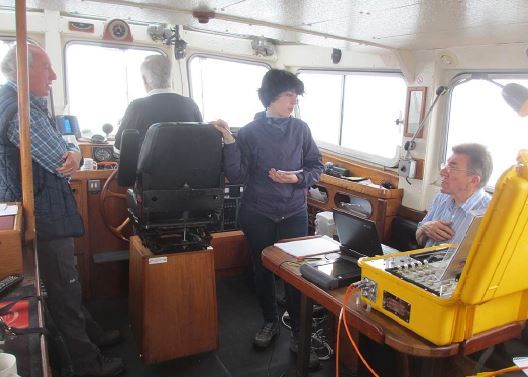
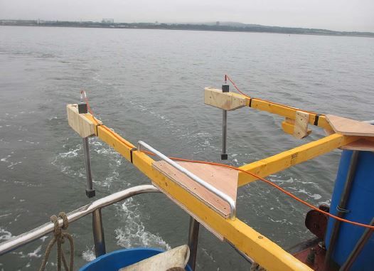
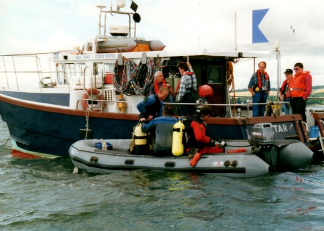
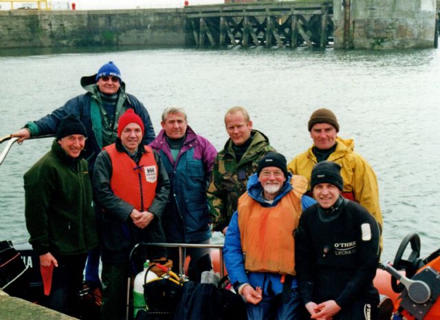
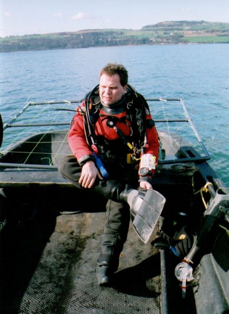
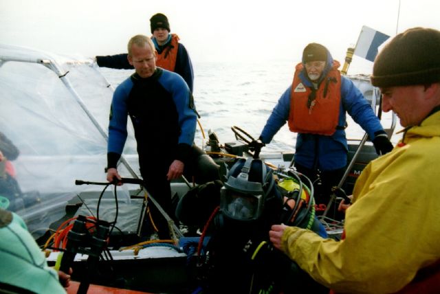
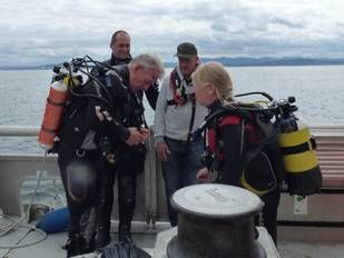
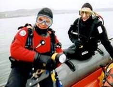
The diving teams over the years
.jpg)
-1 (reduced).jpg)

")